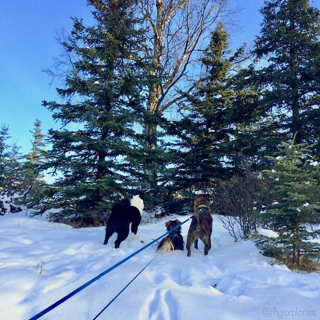
Hi there!
Fly came to work with me, because we had a hike planned for
the afternoon and we didn’t want to waste any time driving back and forth from
the office to the house and then to the trail.
She spent the morning roaming the office, looking out my boss’ window at
the passerby, and ruthlessly ripping the fluff out of her stuffed animal. I made sure she had a hearty lunch to build
her strength for all the energy I knew she would expend during our hike.
The weather was a chilly 7 degrees Fahrenheit and
overcast. Unfortunately, I’d remembered
all my hiking gear except my snowpants! Remember to pack your gear - don’t be me. Fly and I drove over to TheRocketScientist’s
house and we jumped into his warm truck and said hi to his two dogs. I didn’t know what trail we were doing, so I
was just along for the ride.
TheRocketScientist let me borrow a pair of his warm-up pants, but I
stuffed them in my pack, because I wanted to see how I’d do sans insulated
pants. He navigated the icy, hilly back
roads and told me we were going to hike Middle Fork Loop; I’d never heard of it
and he’d never hiked it, so we were both newbies to this one.
As it turns out, the trailhead parking lot is actually the
start of numerous trails. There are signposts
everywhere that list several trails and arrows pointing the directions hikers
should follow for specific trails. Fly
and I were here last year when we hiked Wolverine Peak.
Once we were on the trail and had been hiking for a bit, I
stopped to get a photo, but alas, my camera cruelly informed me that I’d
forgotten to put the memory card back in the camera. Doh!
Don’t be me, get your gear in order.
So, unfortunately, we will have to make do with phone camera photos for
this hike. As a side note, when we hiked
Wolverine last year, I’d forgotten my camera battery and couldn’t take photos
of that trip at all. Seriously, don’t be
me.
About a mile into our journey, it occurred to me that I
didn’t know how long this trail was or where we were going. Upon inquiry, TheRocketScientist casually
informed me that the loop is 6 miles. Oh
boy, I wasn’t mentally prepared for such a lengthy afternoon hike, but hey, no
going back now, so Fly and I marched along.
 |
| A very interesting smell coming from this area. |
The trail was hard packed snow, not very slippery, and had
an easy incline to it. Fly busied
herself with sniffing all the many rabbit tracks and moose tracks that
crisscrossed the trail. It was such a
sunny day and I was moving at such a good pace, that I forgot about the cold
and didn’t need those pants after all.
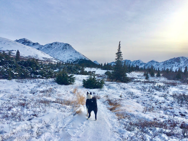
The clouds kept the sun from being direct and bright and made the snowy
white landscape rather dreamy with diffused light.
After a more than mild uphill section of the trail, I had to
pause and catch my breath; while I was looking about, I turned around and saw
Anchorage far below us. What a
sight! People say the city is large, but
it always looks so tiny to me, with its few tall buildings and many green treed
areas swirling around the city. Mt.
Susitna was visible across the inlet, as were the distant, enormous giants of
the Alaska Range: Mt. Foraker, Mt. Hunter, Mt. McKinley, and Moose’s
Tooth. My pitiful phone just couldn’t
capture their splendor, sorry. I didn’t
even attempt a photo of them.
 |
| Just a tad steep |
 |
| Anchorage and Mt. Susitna (Sleeping Lady) |
We hiked past three separate moose browsing in the willow
shrubs. The views of the mountains were
360* and they felt so near. Actually
they were near - we were in the mountains.
I particularly enjoyed the trail as we climbed farther above the
treeline and into the alpine.
 |
| Williwaw trail is on my to-hike list! |
There were several bridge crossings and I could tell that
the area is pretty wet in the warmer months.
Not only were there bridges, but also quite a bit of the trail had
planks and boardwalks, just visible under the snow, for hikers to keep their
feet out of the mud and to protect the trail from too much foot damage. We also had to navigate across wide ice
flows, which were super slippery and fun.
They looked like large, iridescent pillows.
 |
| Boardwalk, just visible in the snow. |
 |
| Ice pillows |
Eventually, we crossed a bridge to the other side of the
ravine that we had mostly been paralleling as we hiked and we flipped the U in our loop trail, so that the trail was now headed back toward Anchorage. I
really enjoy trails that are loops, because I get to see more scenery and don’t
have to backtrack the trail home. Loops
are perfect.
 |
| The backside of Flattop, Peak 2, etc... |
This arm of the U, or loop, runs along the massive powerline
that cuts across the Chugach mountains and sends power to communities further
South. The walk was easy and all down
hill. We left the powerline as the trail
diverged into a tall stand of evergreen trees
- it was really fun to hike through them. We came across a sobering sign reminding
hikers of bears. Yep, bear country. Happily, all those bruins should be
slumbering or hiding from winter in some unknown home in the mountains, so we
were safe.
 |
| Bearanoia - it's a thing. |


No comments:
Post a Comment